Understanding topographic map effect
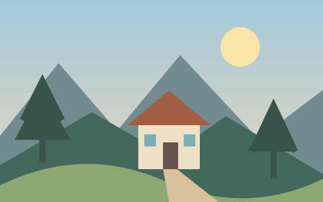
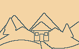
Topographic styling turns tonal changes into contour map inspired lines.
Label it as an illustration. Brightness contours are not measured terrain elevation.
A practical workflow
- Choose the required source files, if any. Files are handled as stated in the workspace privacy label.
- Set the available controls and apply the operation.
- Compare the actual output, check its dimensions and download the generated file.
Decisions and limitations
- Strength (%)
- Radius or pattern size (pixels)
16 megapixels maximum. Artistic treatments are algorithmic approximations with adjustable settings. Exported PNGs are flattened. For two-image operations, the second image must match the first image dimensions.
Questions about this task
Where do I use the current tool?
Apply a deterministic image treatment to your uploaded pixels. These filters do not use an AI service.
What should I check for topographic map effect?
Label it as an illustration. Brightness contours are not measured terrain elevation.
Which settings and formats are confirmed?
PNG. 16 megapixels maximum. Artistic treatments are algorithmic approximations with adjustable settings. Exported PNGs are flattened. For two-image operations, the second image must match the first image dimensions.